Lillington Zoning Maps:
Zoning maps are an important tool for municipal planning departments. City planners rely on zoning maps to delineate different areas (zones) within a municipality. Each zone has specific rules about land use, building types, and development standards. Zoning maps and policies guide development within municipalities in a manner that promotes community well-being. The Town of Lillington utilizes several zoning maps, each of which are useful tools in guiding development decisions.
- The Interactive Zoning Map highlights current approved, proposed, and not-approved developments within the Town of Lillington. The map shows pertinent zoning and site information about development projects
- The Town of Lillington Jurisdiction Map shows the span of the Town of Lillington's jurisdiction, including corporate limits and the extraterritorial jurisdiction.
- The Official Zoning Map highlights the various zoning jurisdictions within Lillington, allowing folks to see permitted land uses in different areas throughout town.
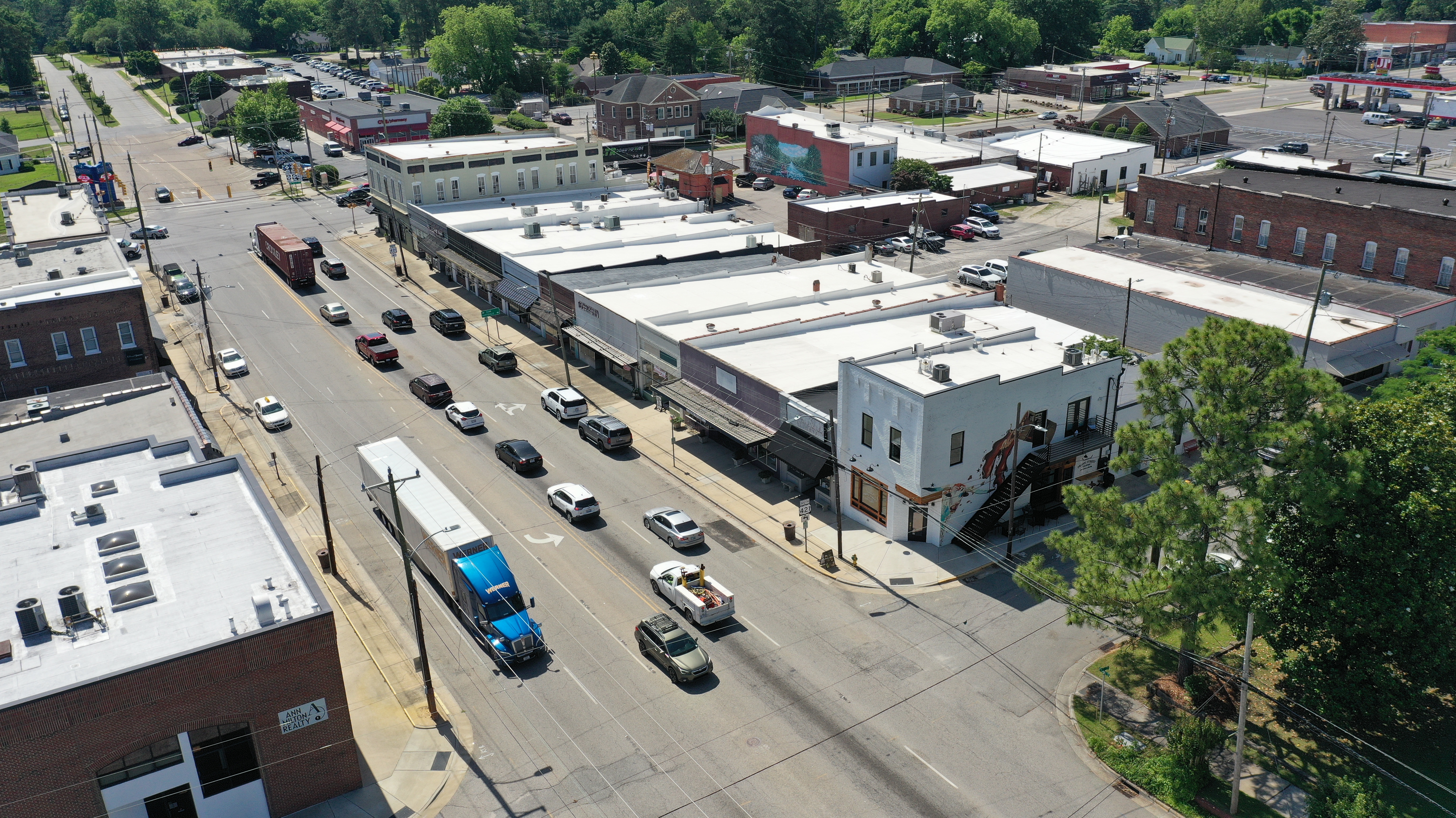
- The Zoning Overlay Map shows additional zoning regulations for a specific geographic region, in addition to the existing base zoning regulations. Lillington has four overlay districts: The Highway Overlay District, the Central Business/Main Street Area, the Transitional Urban Area, and the Urban Residential Overlay District. More guidelines regarding the Overlay Districts can be found in Article II of the Lillington Unified Development Ordinance.
- The Watershed Overlay Map outlines the location of the watershed boundaries in Lillington. Specifically, the map outlines the Cape Fear Watershed Protection Overlay District Critical Area and the Cape Fear Watershed Protection Overlay District Protected Area.
- The Floodplains Map identifies the FEMA Special Flood Hazard Area. This map includes the delineation of the Cape Fear River, the Floodway, the 100-Year Floodplain, and the 500-year Floodplain.
- The 2015 Future Land Use Plan Map is part of Lillington's 2015 Comprehensive Land Use Plan. The map and plan outline potential areas for the town's future growth.